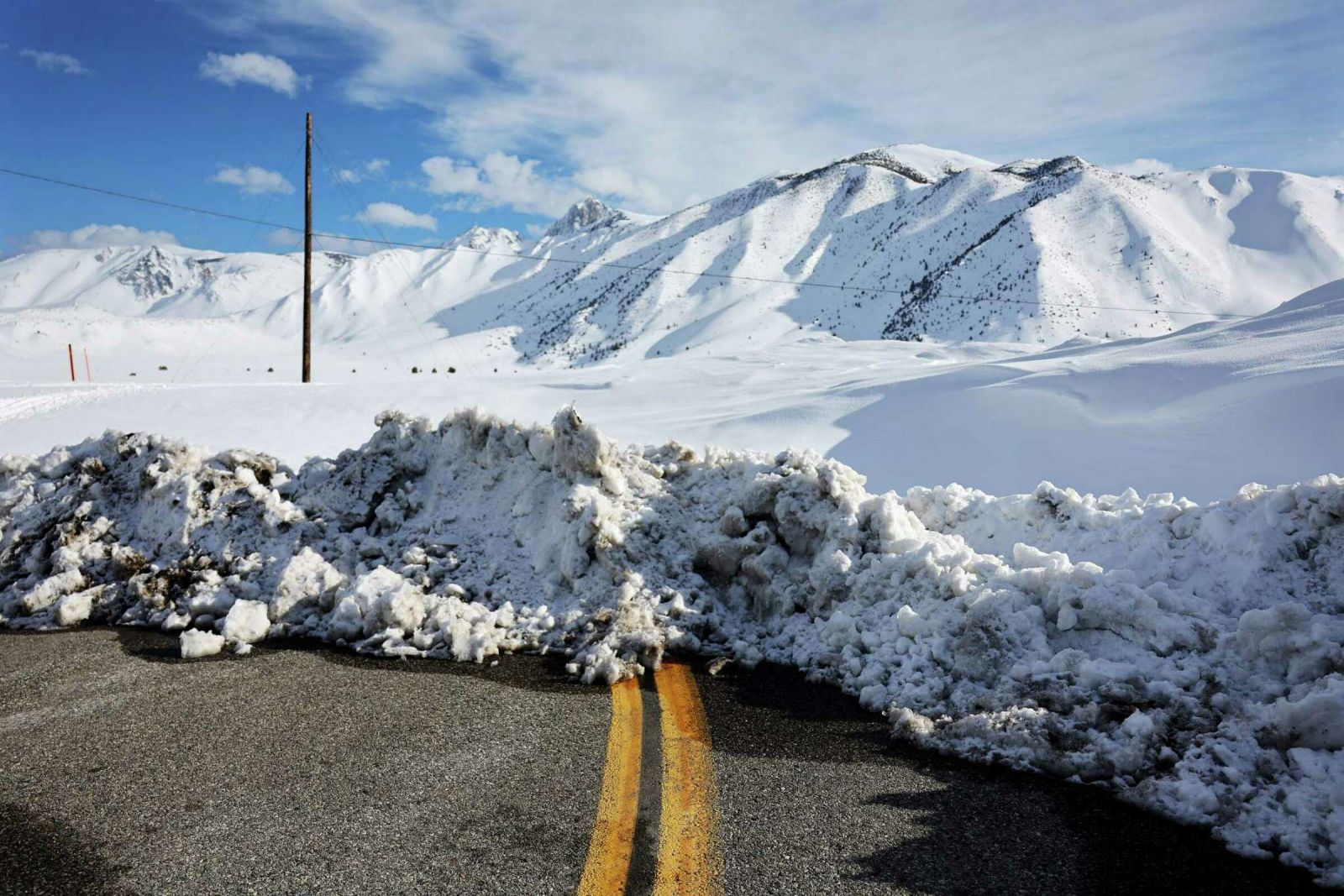
California’s historic snowpack remains massive. And it’s not melting that fast
Although it’s well into spring, the snowpack in California’s mountains remains huge, measuring 254% of average in the state’s May 1 snow survey on Monday.
The Sierra Nevada and southern Cascades together have seen near-record accumulation this year, with the snowpack peaking on April 8 and then beginning to decline, state records show, losing just under 20% of its water mass since.

A cold start to April and lots of cloud cover prompted the snow to melt at slower-than-average pace, state officials say, leaving the snowpack in May among the largest in modern times for the month. This amount of snow presents the potential for catastrophic flooding as it melts through the rest of spring and into summer. Already, many areas of the state are on high alert, notably the southern San Joaquin Valley.
The California Department of Water Resources conducts monthly snow surveys between December and May to gauge water supplies, and during extraordinarily wet years like this one, flood risk.
According to the state’s May 1 measurements, the snowpack in the southern Sierra was 326% of average for the date while the central Sierra measured 250% of average and the northern Sierra and southern Cascades measured 213% of average.
California’s snowpack historically peaks around the beginning of April, when the weather begins to dry out and warm up. This year, it really didn’t get hot until the end of the month, with a weeklong bout of unseasonable heat.
“We have seen more runoff recently (from the snowpack) than we were seeing in early April, and that’s because of the warmer temperatures,” said Chad Hecht, research and operations meteorologist at the Center for Western Weather and Water Extremes at UC San Diego.